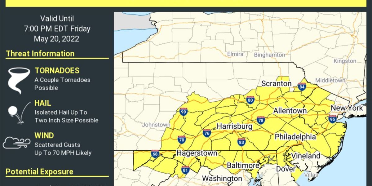
Tornado Warnings Issued for Salem County, NJ as Severe Weather Hits Philadelphia Region
Philadelphia – The National Weather Service issued a tornado warning for Salem County, New Jersey, until midnight. The National Weather Service canceled a tornado warning that had been in force for about 45 minutes in New Castle County, Delaware.
It was the second tornado warning issued in New Castle County on Wednesday night.
According to the NWS, parts of the Philadelphia region may experience severe weather on Wednesday night and Thursday. On Wednesday night, New Castle County in Delaware, right below Wilmington, and Salem and Cumberland Counties in New Jersey face a minor danger of severe weather. According to the NWS, a moderate risk indicates the possibility of single or severe storms.
Earlier on Wednesday, a tornado warning in southwestern New Castle County, Delaware, expired at 9 p.m. According to CBS News Philadelphia meteorologist Bill Kelly, the storm that slammed New Castle County is now moving east into New Jersey. The National Weather Service reported that wind blew down trees on Walker School Road and Fleming Landing Road/Route 9 in New Castle County.
Severe weather is also affecting Maryland, just west of Delaware. Tornado warnings have gone up across the state.
Storm-related Threats
The storm heading into Philadelphia is bringing heavy rain, strong winds, and lightning. Tornadoes are unlikely, but not impossible.
Tracking More Storms for Thursday Morning Rush
The severe weather that began Wednesday night will continue into Thursday over the Philadelphia region. On Thursday, the NWS predicts a marginal risk of severe weather for the entire Philadelphia region.
Storms will disrupt people’s morning commutes to work. If you’re going out, be cautious on the roadways.
Storms will begin to subside across the Delaware Valley in the middle of the morning.


