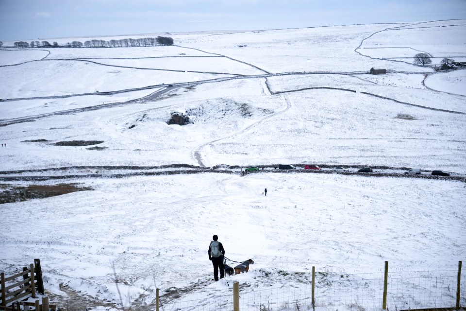
UK weather: Met Office warns of more snow to fall today – as yellow alert for fierce winds is issued
According to the Met Office, the UK is preparing for a week of unpredictable weather, including snow, rain, and strong winds.
The Met Office has issued a yellow wind warning for northern and northwest Scotland from Tuesday, December 3rd, through Thursday, December 5th.
Untreated roads, pavements, and bike paths are likely to develop ice, which would make the situation hazardous.
Later today, rain and snow are expected to spread across Scotland, with snow potentially falling on higher elevations.
By Tuesday evening, temperatures will drop significantly, which will lead to the formation of ice overnight and into Wednesday.
Steve Ramsdale, chief meteorologist for the Met Office, clarified: “Over Monday and Tuesday, the UK will see chillier weather due to northern winds.
This increases the chance of widespread frost here, especially on Monday evening, and some snow falling over higher areas in Scotland and northern England on Monday and Tuesday.
Northern Scotland and higher ground in northern England may see some snowfall today, but the majority of the UK will stay dry and cold.
Expect chilly starts and crisp conditions elsewhere.
The Met Office predicts more erratic weather later this week, saying that “at this time, it looks like the unsettled conditions will continue into the weekend, with a deep low-pressure system probably crossing the UK into Saturday, bringing strong winds and rain to some areas.”
In the upcoming weeks, the weather is expected to deliver a combination of calmer and more unstable circumstances.
Many places will have rainy and windy weather over the weekend of December 7–16, followed by chilly, rainy, and windy conditions.
The next week is predicted to see the onset of high pressure, which will bring more consistent weather with dry spells, overnight frosts, and fog in certain areas in the morning.
High pressure is predicted to predominate from December 17 to December 31, particularly in southern regions, bringing settled weather.
Frontal systems may still occasionally bring rain to the north and northwest.
High pressure could return towards the end of the month, bringing calmer and drier weather, especially in the south.
The public is advised by the Met Office to remain vigilant since weather warnings could be issued in the days ahead, especially as the weekend draws near.
UK 5 day weather forecast
Today:
In Wales and England, Tuesday will be cool, sunny, and dry. It will begin cold and dry farther north as well, but about lunchtime, rain will reach northern Scotland and Northern Ireland, where it will transition to snow on the Scottish hills.
This evening:
This evening, rain will briefly spread into northern England before dissipating. There are only a few showers in the north and west, and it’s mostly dry elsewhere. Frosty and cold.
Wednesday
Much of Wednesday was bright, dry, and cold. But in the afternoon, a band of intense rain and wind will move into Scotland and Northern Ireland.
Prospects for Thursday through Saturday:
become increasingly erratic over the next few days, with a lot of rain and gusty gusts, especially throughout the weekend when gales are predicted. become progressively milder over the course of the week.
Note: Every piece of content is rigorously reviewed by our team of experienced writers and editors to ensure its accuracy. Our writers use credible sources and adhere to strict fact-checking protocols to verify all claims and data before publication. If an error is identified, we promptly correct it and strive for transparency in all updates, feel free to reach out to us via email. We appreciate your trust and support!


