


Weather Alert: Cold Snap and Snowfall in Oregon’s Forecast
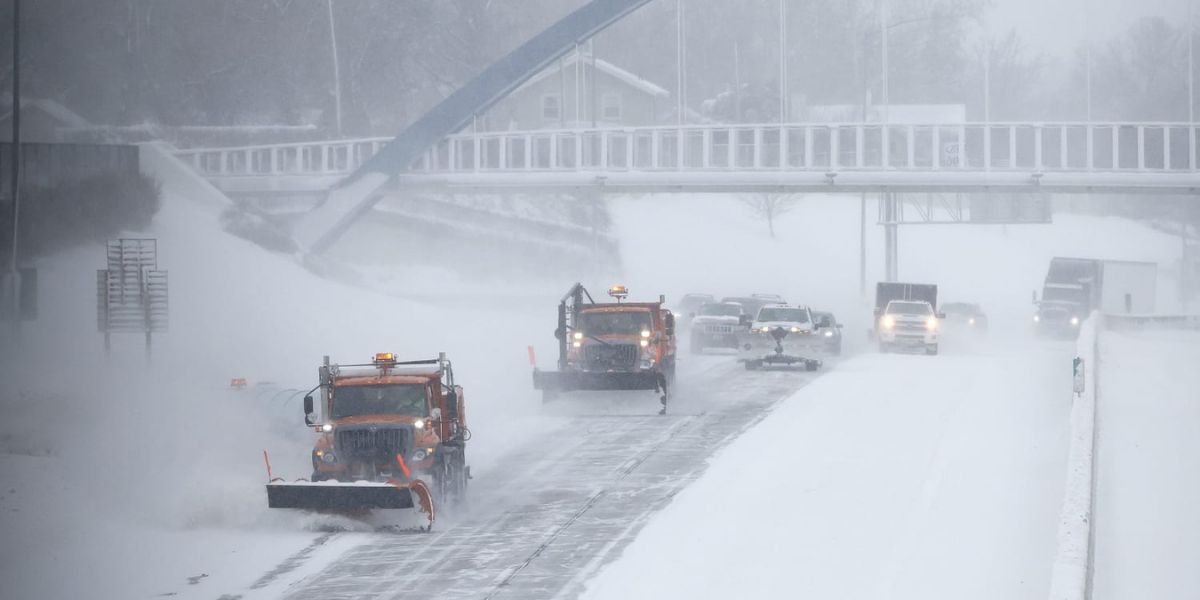
Winter will make a brief comeback late this week and into the weekend, with low temperatures and showers in the Willamette Valley and snow in the mountains.
A half-foot of snow is anticipated at Cascade mountain pass levels from Thursday to Sunday, but it is unlikely to cause significant travel difficulties. Instead, the system should strengthen the state’s snowpack, allowing ski slopes to operate far into April.
This time of year, Oregon has a yo-yo of warm and mild weather, and every last drop of rain is welcome as the state begins to dry out.
The good news is that Oregon is doing well by almost every statistic, including snowpack, rainfall, and drought.
“Right now, we’re almost exactly normal (for water and snowpack),” said state climatologist Larry O’Neill. “That hasn’t often been the case the last five or 10 years.”
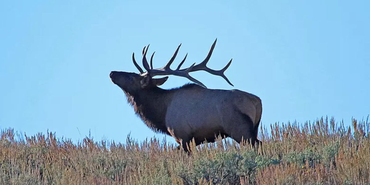
A regular or good water year is beneficial for delaying wildfire season, protecting fish and wildlife, and providing city water supply.
Drought is at its Lowest Level Since 2019
The multi-year drought that has gripped Oregon has reached its lowest point since October 2019. Overall, Oregon’s snowpack is 104% of normal, with precipitation 105% of average.
Last year, Oregon had more snow in the mountains, but there was less precipitation.
“Our main water supply issues are pretty good,” O’Neill remarked.
Oregon’s Reservoirs are Mainly on Pace to Fill
According to O’Neill, most Oregon reservoirs are on track to full this year.
That includes popular Detroit Lake, which sits at 1,542 feet above sea level and is approximately where it should be this time of year. Many additional Willamette Valley reservoirs are in good condition as well.
East of the Cascades, the situation is likewise favorable: major reservoirs such as Lake Owyhee, Wickiup, and Prineville are 70-100% full.
O’Neill stated that the only shortfalls were in Central Oregon and the Klamath Basin. However, water shortages are not as severe as in previous years.
What Happened to the Fall of El Niño?
Winter started slowly, and the El Niño trend raised concerns about a dry and hot winter.
According to National Weather Service meteorologist Colby Neuman, Oregon was fortunate to capture a significant portion of the moisture headed into California.
“We’ve been fortunate to be close enough to storm track that is normally a little farther to the south, especially over last month, that we still ended up getting a fair amount of mountain snow and cooler weather,” he told reporters. “Oregon is typically in the center of El Niño years, which is evident this year. Washington is desperate for snow, but California is doing exceptionally well.”
Oregon Ski Areas Stay Open Longer
The usual snowpack means that most Oregon ski slopes will be open into April, and in some cases into May.
After a record late start to the season, with some ski slopes not opening until early January, the late season might help some ski areas make up for lost revenue.
Warm Weather Returns Next Week
While the following five days are expected to be cold and damp, warm and dry weather will return next week.
Temperatures are expected to increase well above average, potentially leading to an early melt of snow. As summer comes, Oregon may resume its drought sooner rather than later.
“If we do melt out pretty fast, it won’t take long to get pushed back into drought, just because in many places indicators like soil moisture haven’t fully recharged,” O’Neill told the BBC.
This might reverse progress and result in an early wildfire season, as happened a year ago.